
Live Satellite View GPS Map
Appscourt
Downloads
10,000,000+
Source
Google Play
Advertisement
Click to download now, finish the installation quickly, and directly unlock the all-round experience
Advertisement
Screenshots
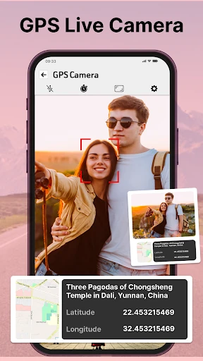
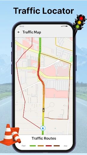
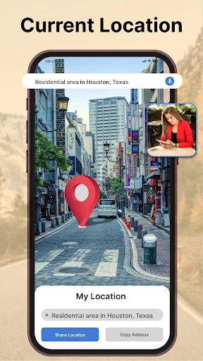
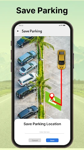
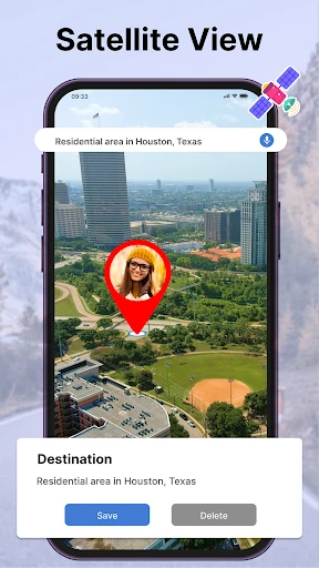
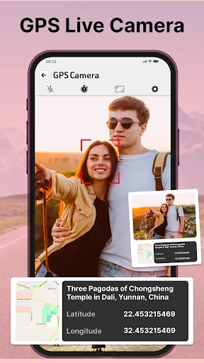
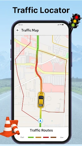
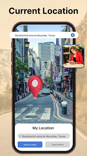
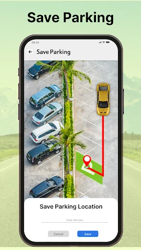
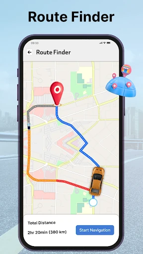
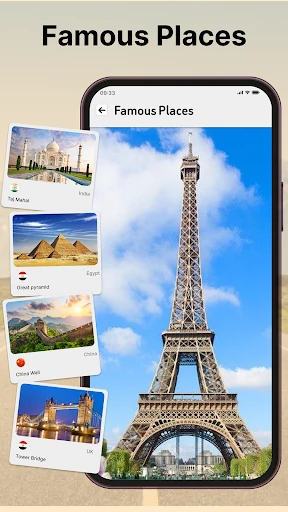
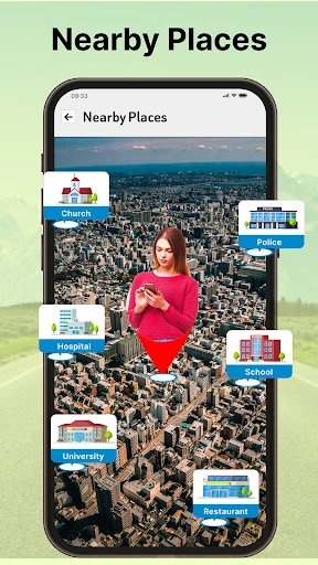
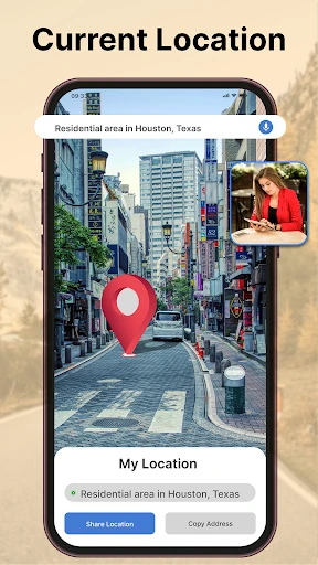
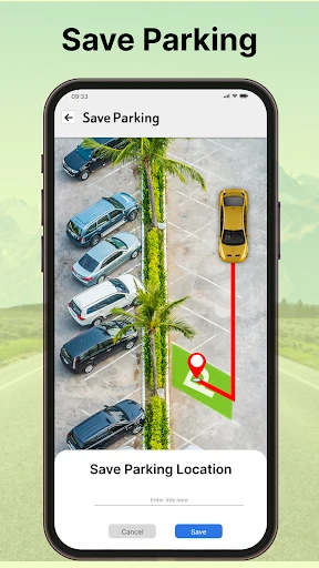
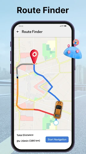
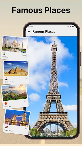
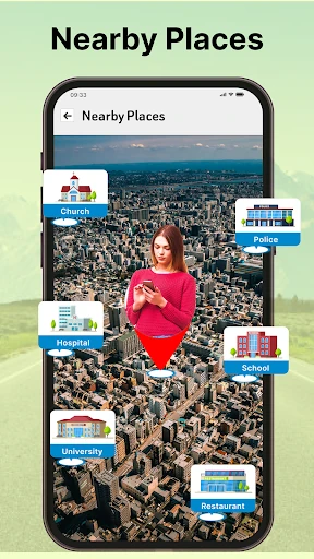
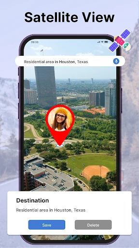
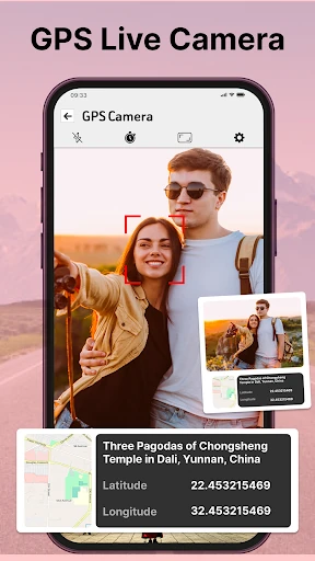
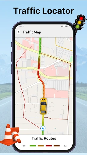
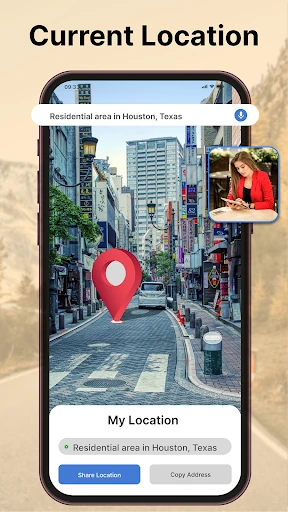
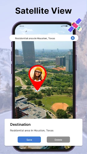
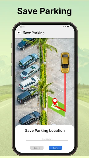
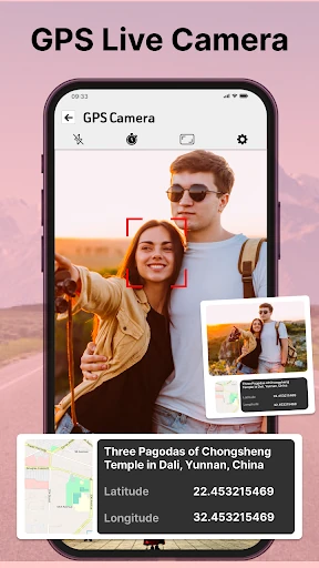
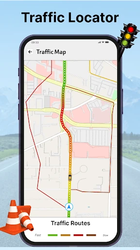
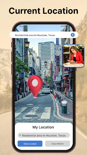
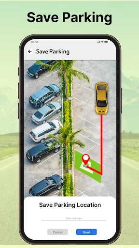
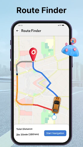
Click to download now, finish the installation quickly, and directly unlock the all-round experience
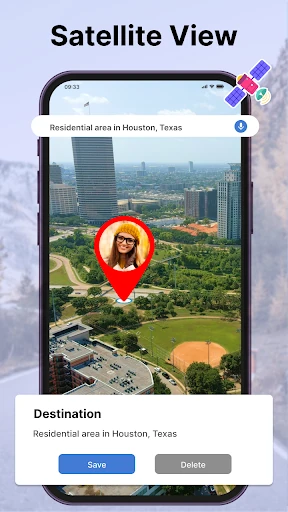
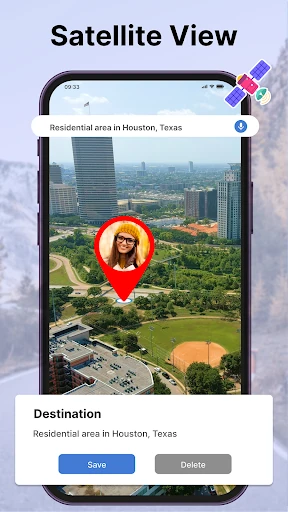
Live Satellite View GPS Map combines map-based navigation with satellite imagery and street-level views. It may suit travelers who want to get a visual sense of a destination before setting out, as well as people looking for routes and nearby places while on the move. Appscourt lists it in the Maps & Navigation category.
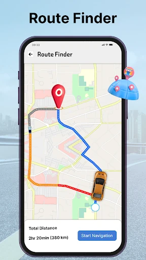
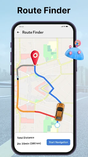
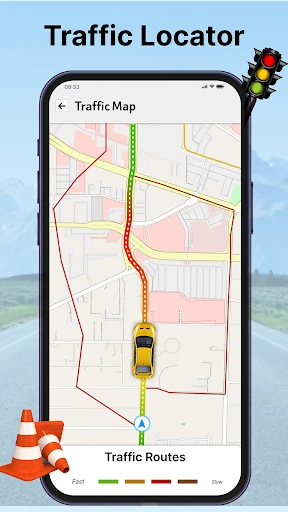
The app supports route planning for driving, walking, cycling and public transport. Its map views include 2D and 3D options, while voice-guided directions are intended to help users follow a route without continually checking the screen. Traffic information and route updates are also described as part of its navigation offering.
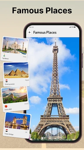
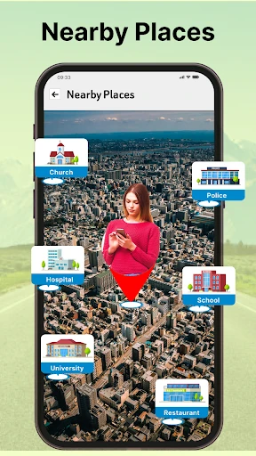
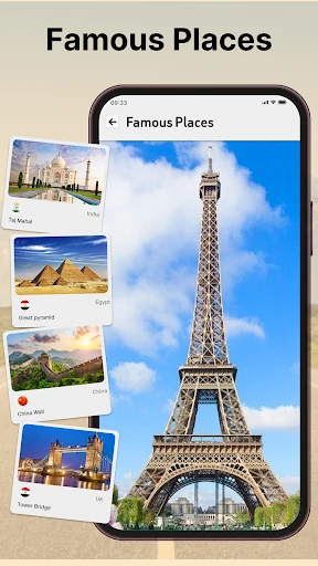
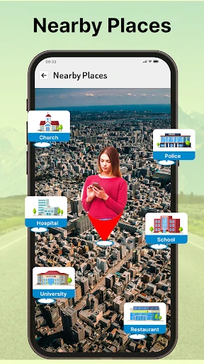
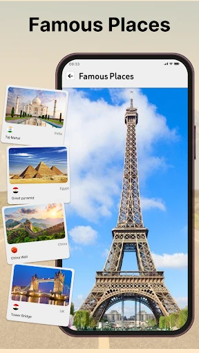
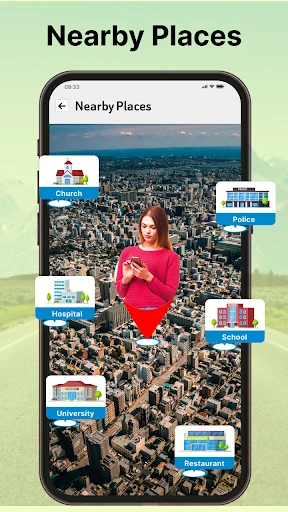
For finding things nearby, users can search categorized points of interest such as hospitals, ATMs and transit stations. Street-view imagery can help with recognizing an area or landmark before arrival. These tools make the app relevant both for everyday journeys and for exploring unfamiliar places.
With a broad set of map and travel tools, the app is aimed at people who prefer having route guidance, location search and visual exploration together. The available features may be more than some users need for straightforward directions, so consider which map views and travel options matter most to you.
The listing shows a 3.6 rating from about 39,000 reviews and more than 10 million installs. Ratings and app details can change as the developer updates the store record. Check the live Google Play page for the current information before deciding whether it fits your needs.